A fishing vessel caught fire off of Nantucket.

The greatest value of a building rating system is one that meshes with economic decisions.
Knowing the types of emergencies to expect and what response is expected from each person makes it easier for employees to follow the instructions given by either on-site or external responders.
The publication summarizes four major accident investigations.
The agency says inadequate training and unsafe working conditions led to a fatality
"Coastal residents are reminded," Colorado State University Department of Atmospheric Science Research Scientist Philip J. Klotzbach and Associate Professor Michael M. Bell wrote, "that it only takes one hurricane making landfall to make it an active season for them, and they need to prepare the same for every season, regardless of how much activity is predicted."
The city's mayor wants Congress to reform FEMA's National Flood Insurance Program.
More than a dozen people have been rescued in the last seven days.
In terms of property losses covered by insurance, 14 of the 15 costliest natural disasters in U.S. history were due to windstorms: 12 hurricanes and two tornado outbreaks.
The Geostationary Lightning Mapper is providing images to help forecasters anticipate severe weather and issue flood warnings earlier, according to the agency.
The total number of Americans at high risk from both natural and human-induced earthquakes this year is about 4 million.

An example of an incident where the alerts could have assisted the public was the methyl mercaptan gas release that killed three operators and a shift supervisor at the DuPont La Porte, Texas, facility on Nov. 15, 2014.
The PacWave17 exercise Feb. 15-17 envisions earthquakes off the coasts of Chile and Peru, Colombia and Ecuador, Philippines, Solomon Islands, Tonga, and Vanuatu for countries to choose from. Alerts will be sent from the Pacific Tsunami Warning Center in Hawaii and the Northwest Pacific Tsunami Advisory Centre in Japan.
The report also says senior citizens are at risk.
Twenty-five U.S. miners died in work-related accidents last year.

Without mass notification systems, the silence can be deafening and fatal.
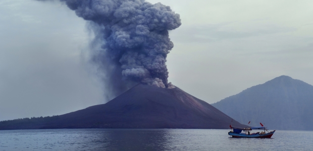
The International Volcano Observatory Best Practices workshop is taking place in the United States for the first time this week in Vancouver, Wash.
The agency warns the industry to take note of unique hazards in winter.
A report from the Tampa Bay Times analyzed flight data for every major airline.
New flood insurance maps will become effective Sept. 30 in the city. "FEMA's new flood maps for New Orleans will make a huge difference for our residents, potentially saving hundreds of thousands of dollars on flood insurance," Mayor Mitch Landrieu said. "But recent flooding in Louisiana should be a reminder to everyone that weather events can strike anyone, even those who have never flooded before."